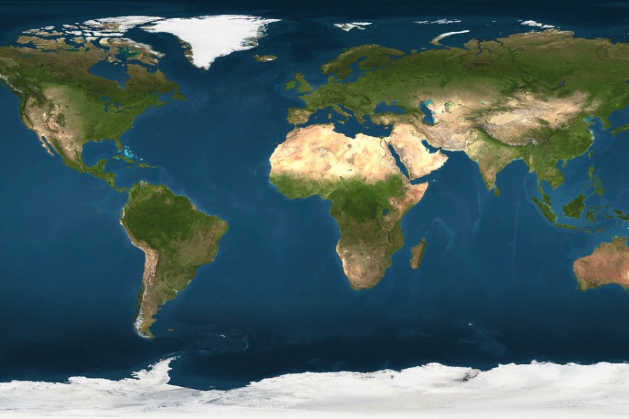
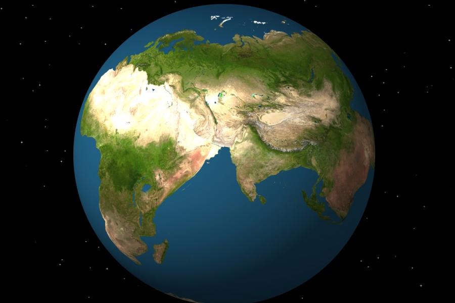
In exploring the ground beneath, one contemplates the dynamic world beneath their feet. A dynamic realm unfolds underfoot as individuals stand, walk, or drive. The outermost solid layer of Earth, known as the lithosphere, presents itself in slabs of rigid rock termed tectonic plates. But how many tectonic plates are there? What causes Earth’s tectonic plates to move?
In this article, we will cover the fundamentals of plate tectonics and processes to identify plate boundaries. We will also discuss the methods scientists have used to derive plate counts as theories and techniques improved.

How Many Tectonic Plates Are There?
There are approximately 15 tectonic plates, several major and minor ones covering the Earth’s lithosphere. These plates are large pieces of the Earth’s crust that move and interact with one another along their boundaries.
The major plates include the Pacific Plate, North American Plate, Eurasian Plate, African Plate, South American Plate, Antarctic Plate, and Indo-Australian Plate, among others. These plates are constantly in motion, either colliding, sliding past each other, or spreading apart, leading to various geological phenomena such as earthquakes, volcanic eruptions, and the formation of mountain ranges.
The number of minor plates is less well-defined and can vary depending on the definition used by geologists. Overall, the study of tectonic plates and their movements is crucial for understanding the Earth’s dynamic processes and for assessing natural hazards.
Enumerate major types of tectonic plates
The two chief classes of tectonic plates are oceanic and continental plates. Oceanic plates are composed of dense basaltic ocean crust formed at spreading ridges on the seafloor. Continental plates are made of thicker, less dense granitic continental crust forming the continents and continental shelves.
There are also mixed plates that include both oceanic and continental lithologies, such as the Cocos Plate off Central America. The Caribbean Plate, too, has a mosaic of oceanic, continental, and arc fragments amid its complex boundaries.
Contrasting properties: Oceanic vs. continental plates
Oceanic plates, composed of cold basalt and gabbro rocks, are rigid slabs formed at mid-ocean ridges. These plates, around 37-62 miles thick, are dense and sit at a low elevation compared to continental plates.
Ocean plates return to the mantle at subduction zones, creating convection cells that circulate material. On the other hand, continental plates have lower-density roots made of felsic igneous and metamorphic rocks, reaching depths of approximately 93-155 miles.
Common rocks like granite, gneiss, and schist make up continental plates, contributing to their greater thickness and elevations than ocean plates. The resistance of continental crust to subduction becomes evident when plates collide.
Historical Perspective on Plate Tectonics
Development of the plate tectonic theory
In 1912, Alfred Wegener proposed the continental drift theory. He suggested that all continents were once part of a supercontinent called Pangaea. According to Wegener, forces caused the continents to drift.
Initially, people were skeptical of Wegener’s ideas. However, later evidence, such as seafloor spreading, supported his theory.
In the 1960s, advances in geology and geophysics led to the formalization of plate tectonic theory. Scientists like Harry Hess explained continental drift through mechanisms like seafloor spreading and subduction. Additional data on ocean geology and paleomagnetism solidified the theory.
Continental drift theory
Alfred Wegener observed that continents such as Africa and South America fit together like puzzle pieces. This led him to propose the theory of continental drift. The theory stated that over time, the supercontinent Pangaea broke apart.
Then, the individual landmasses gradually shifted into their present positions across the globe. His radical idea was met with skepticism from contemporaries, who argued that there were no forces powerful enough to propel the continents over the planet’s surface.
Wegener died on a Greenland expedition in 1930. His ideas were debated for decades until new evidence of seafloor spreading emerged. He pioneered thinking on continents moving over geologic time.

Scientific advances leading to the modern understanding of plate tectonics
In the early 1900s, Alfred Wegener suggested that continents could shift positions globally. He supported this idea with evidence like fossil patterns, unique rock layers, and repeated landforms across continents when rejoined.
Despite resistance from most geologists, the discovery of seafloor spreading in the 1950s and 1960s provided mechanisms for mobility. Mapping the ocean floor uncovered 25,000 miles of volcanic mountain ridges spanning major ocean basins, revealing convection currents in the mantle and creating new seafloor.
Surveys also found symmetrical magnetic polarity stripes near the ridges, matching the expected result of reversing geomagnetic fields during ongoing eruptions of new seafloor. These findings solidly supported Wegener’s Continental Drift ideas.
Mapping and identification of plate boundaries
Mapping modern plate boundaries relies on seismic monitoring. This method captures fractures at the edges of rigid tectonic slabs during earthquakes. Vast networks of seismometers, both on land and on the ocean floor, precisely locate earthquake epicenters and depths worldwide.
Scientists can infer the locations of active plate boundaries by analyzing earthquake trends. These boundaries often cluster tightly in narrow linear zones, marking the major divides between tectonic plates. This approach provides valuable insights into the dynamic processes shaping the Earth’s surface.
Advancements in technology and data collection for plate tectonics studies
Advanced plate tectonics models are now possible thanks to improved global monitoring and sharper Earth imaging. Satellite platforms like Interferometric Synthetic Aperture Radar (InSAR) provide frequent scans, revealing small crustal shifts and strain buildup before earthquakes.
Sea-floor sonar mapping reveals detailed fracture patterns near boundaries. Seismic tomography generates high-resolution 3D images deep into the mantle beneath plates, utilizing extensive wave data from sensor arrays.
Simulating plate tectonics through the ages
Advances in computer hardware have driven exponential improvements in computing performance. This added processing capability enables handling the massive data inputs needed to simulate plate tectonics.
Now, researchers can simulate plates’ broad motions over spans of hundreds of millions of years. This includes factors such as evolving seafloor spreading centers, shifting subduction zones, and continental collisions.
Determining the Number of Tectonic Plates
Traditional classification of major plates
As mentioned, the seven chief tectonic plates, namely the Pacific, North American, Eurasian, African, Antarctic, Indo-Australian, and South American, were established by plate tectonic theory in the late 1960s. They range in size from approximately 8,000 to 37,000 miles across. Each major plate has well-defined boundaries mapped with active seismic zones and fault lines.
Primary tectonic plates
The Pacific plate is the largest, situated beneath the Pacific Ocean. Notably, the North American plate extends east of the San Andreas fault, while the South American plate stretches southward from this boundary.
In the Eurasian region, the dominant plate is Eurasian, except where India has made an impact. The Great Rift Valley and the slow-spreading Atlantic ridge divide the African plate. In the south, Antarctica and the Indo-Australian plate amalgamate to the north.
Classifying plates: Criteria for major vs. minor designation
Specific criteria distinguish major and minor tectonic plates. Size is a key factor, with major plates exceeding 620 miles. A major plate also requires a well-defined boundary and a relatively rigid-body behavior, exhibiting thousands of miles of unified lateral motion.
Seven plates meet these stringent conditions to be classified as major. However, the classification of smaller plates can be more varied and debated, especially among experts.
Minor Plates and Microplates
Small plates, like minor plates and microplates, are generally a few thousand kilometers across. Examples are the Gorda, Juan de Fuca, and Philippine Sea plates near North America and Asia. Despite their smaller size, these plates show some coordinated movement.
The boundaries of these plates are more complex than those of larger plates. Recognizing tiny microplates within deforming zones is still a debated and evolving topic. And improved data continues to refine our understanding.
Controversies and variability in identifying microplates
The number of microplates isn’t agreed upon, as different studies recognize anywhere from 6 to 52. This discrepancy arises from unclear boundaries that can be hard to distinguish from regional deformation zones.
Better earthquake monitoring might reveal new areas where block boundaries were previously overlooked. This can lead to the identification of more microplates or simplify the perceived complexity, changing the overall count of plates globally.
Conclusion
How many tectonic plates are there? Determining exactly how many tectonic plates there are on Earth remains a complex challenge. But as we pointed out, there are around 15 main tectonic plates, several major and minor ones.
However, researchers have concluded that, at present, Earth has between six and 52 tectonic plates, revealing the complexity of our planet’s structure. These movements cause powerful forces that drive continental drift, trigger earthquakes and volcanic activity, and shape mountain ranges and ocean basins.
Ultimately, these plate motions define the Earth’s geography beneath us. By learning about the diverse plates forming the planet’s outer shell and the ongoing processes shaping their boundaries, you now have a solid foundation.
